|
|
Walk 95 - Green Crag/Harter Fell - 11th April 2025 |
||||
Wainwright's Walking Guide to the Lake District Fells - Book 4 The Southern Fells |
||||
#210 Green Crag 1604 ft #211 Harter Fell 2117 ft |
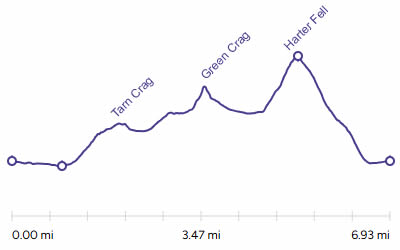 |
Distance |
7 miles |
|
Time |
8 hrs |
|||
Lowest Point |
207 ft |
|||
Highest Point |
2142 ft |
|||
Total Ascent |
2666 ft |
|||
Walk Rating - tough |
||||
 |
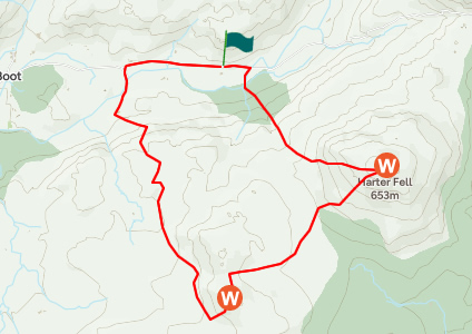
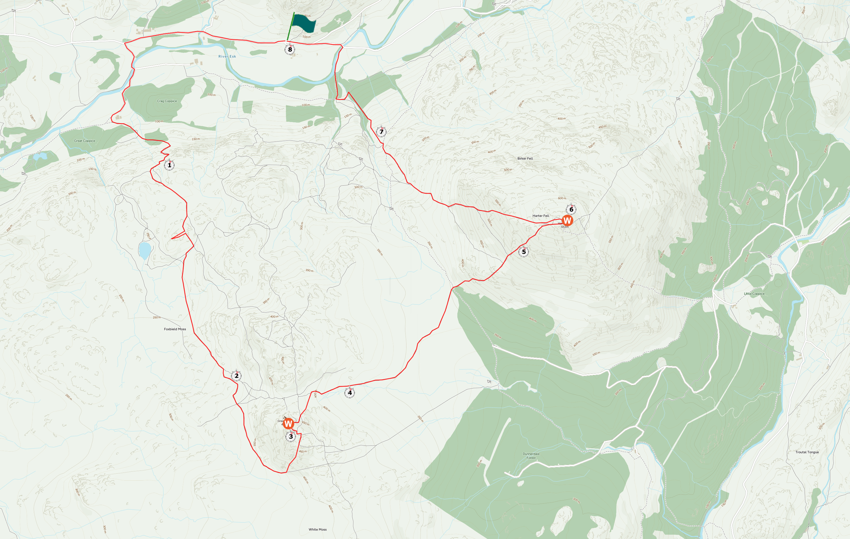
Mini Route Map Go to walk start
|
 |
|---|
 |
||
|---|---|---|
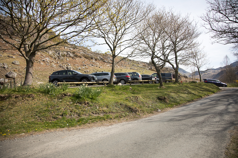
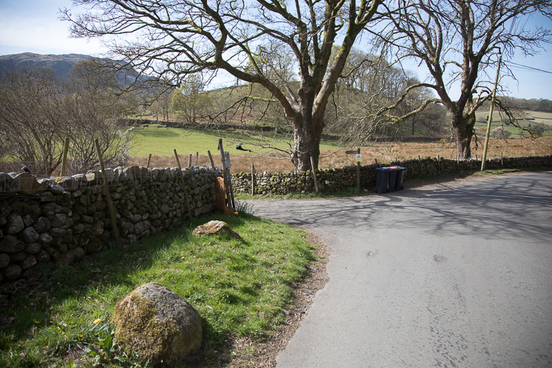
| 11.39 Leaving the parking at Wha House Farm. |
 |
||
|---|---|---|
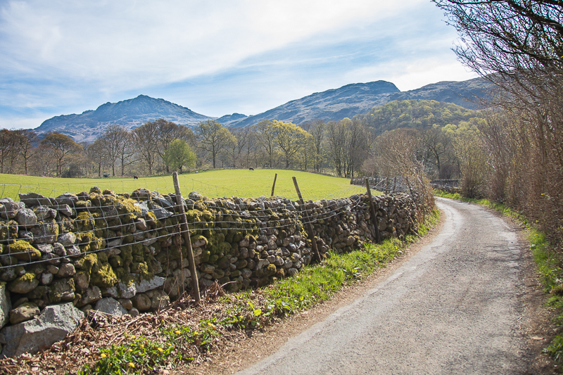
| 11.52 Turning off the road down a lane |
 |
||
|---|---|---|
| 11.53 Harter Fell in the distance. |
 |
||
|---|---|---|
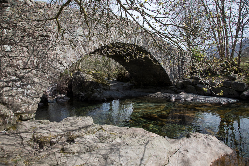
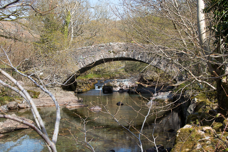
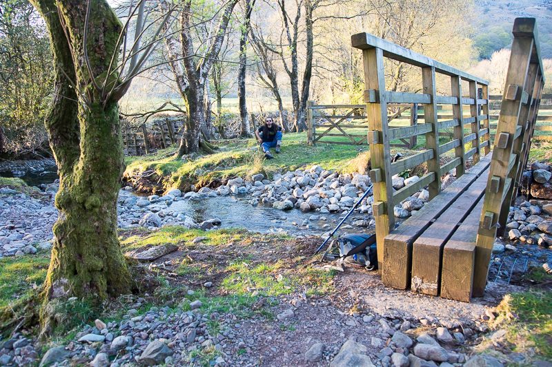
| 11.56 Doctor Bridge. |
 |
||
|---|---|---|
| 11.59 Doctor Bridge |
 |
||
|---|---|---|
| 12.07 Passing |
|
||
|---|---|---|
| 12.30 Eskdale |
 |
||
|---|---|---|
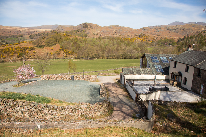
| 12.32 Looking back to Wha House Farm. |
|
||
|---|---|---|
| 12.39 Panorama 1071A lovely view over Eskdale from the edge of the fell where the ascent levels off |
 |
||
|---|---|---|
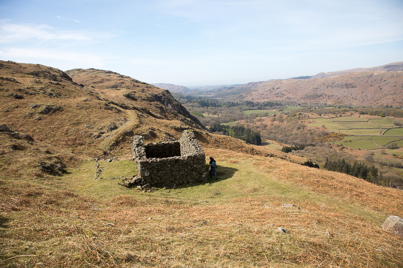
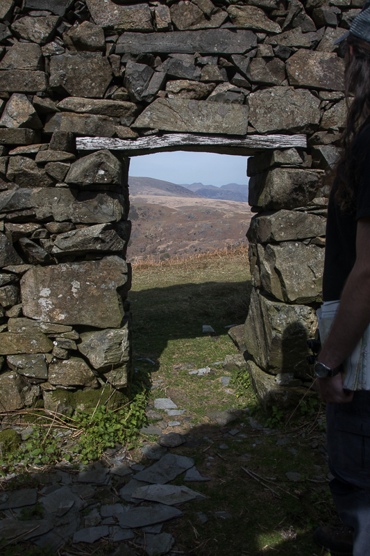
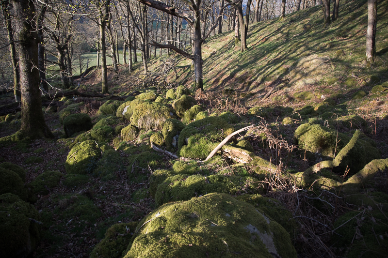
| 12.49 The abandoned Low Birker peat hut, on the edge of the fell, is mentioned and drawn by Wainwright in Green Crag 3. |
 |
||
|---|---|---|
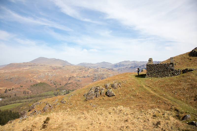
12.51 Pillar and Red Pike in the distance. We will be up there tomorrow. |
 |
||
|---|---|---|
| 12.52 The faithful map reader at work. Just after this I heard "Oi, where do you think you're going ?" |
|
||
|---|---|---|
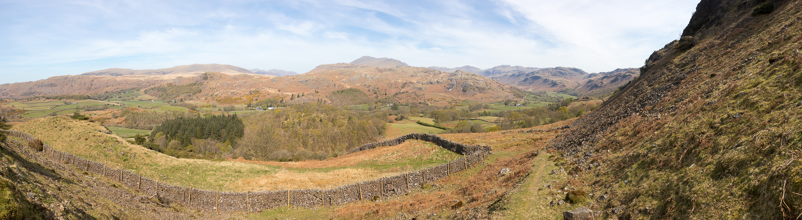
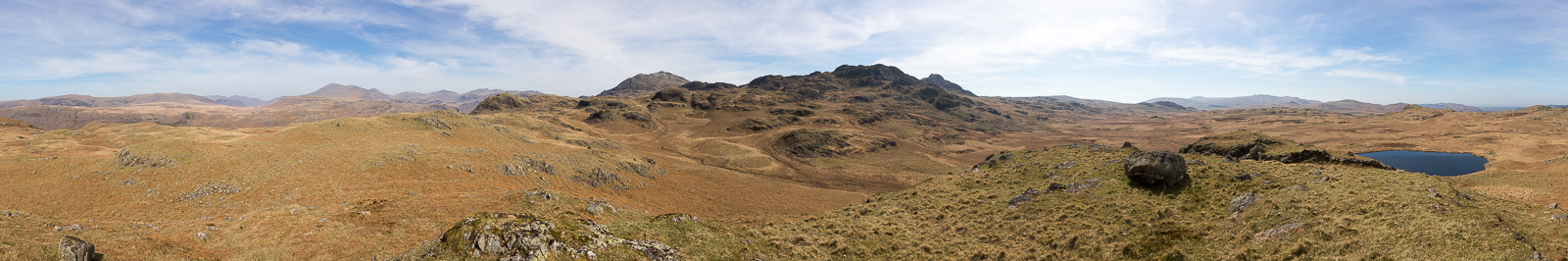
| 13.12 Panorama 1072 Tarn Crag. |
 |
||
|---|---|---|
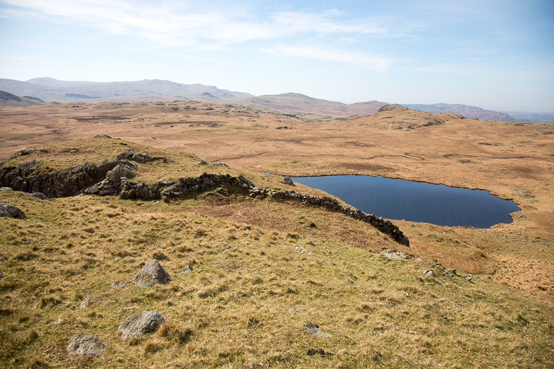
| 13.16 Low Birker Tarn |
 |
||
|---|---|---|
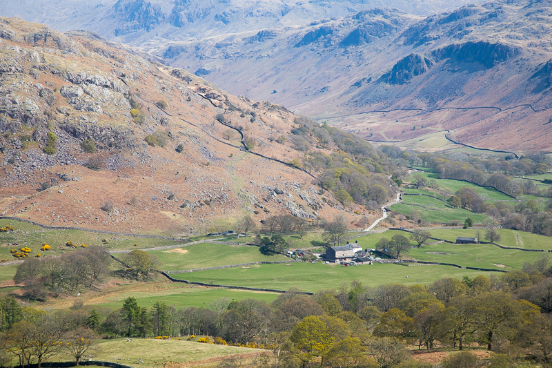
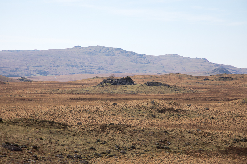
| 13.40 Fox Bield was a little patch of green in the brown moorland and resembles a small cottage from this angle. |
 |
||
|---|---|---|
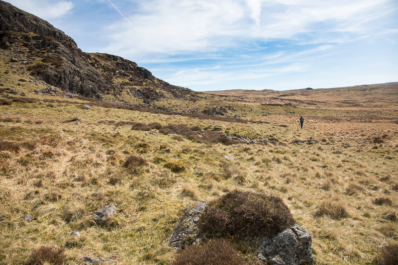
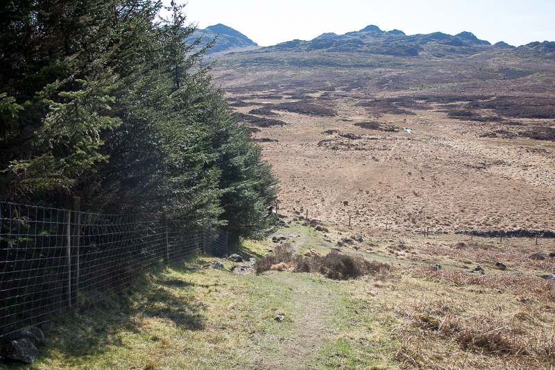
| 14.14 Sketchy paths at this point but we skirted around the edge of the higher fell until we reached an easier ascent. |
 |
||
|---|---|---|
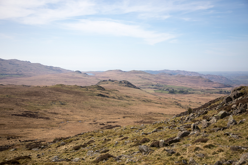
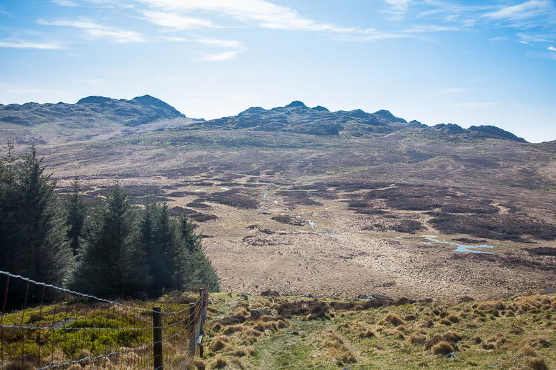
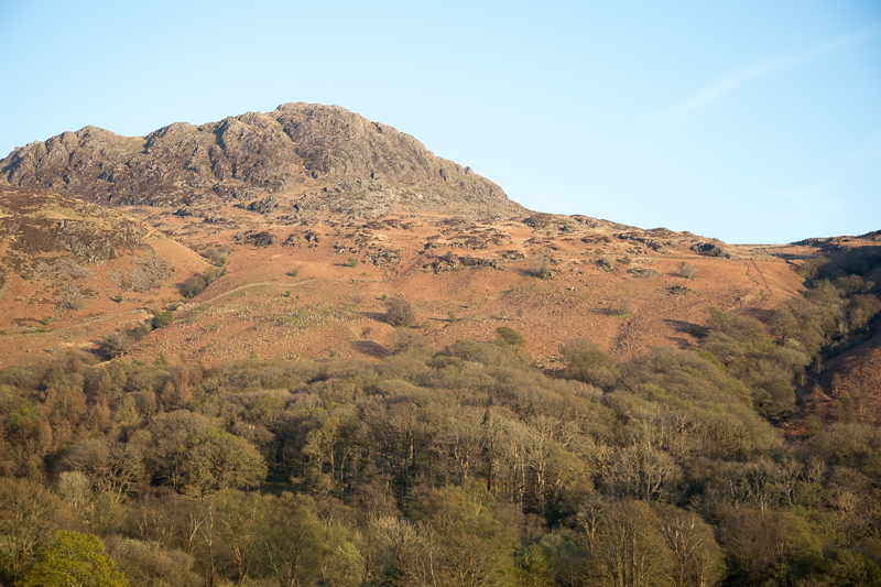
| 14.34 Looking back as we start to ascend the south side of Green Crag. Devoke Water in the distance. |
 |
||
|---|---|---|
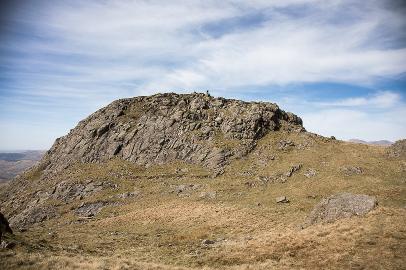
| 14.45 Green Crag summit. We approached from the south-east then to the small stone to the right where there is a simple path that leads up to the top. |
|
||
|---|---|---|
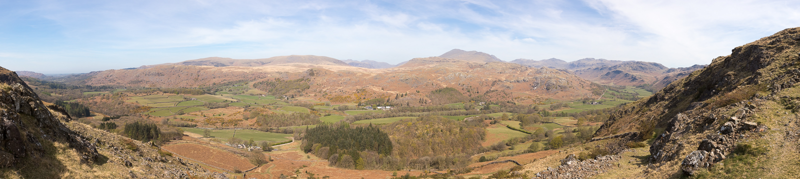
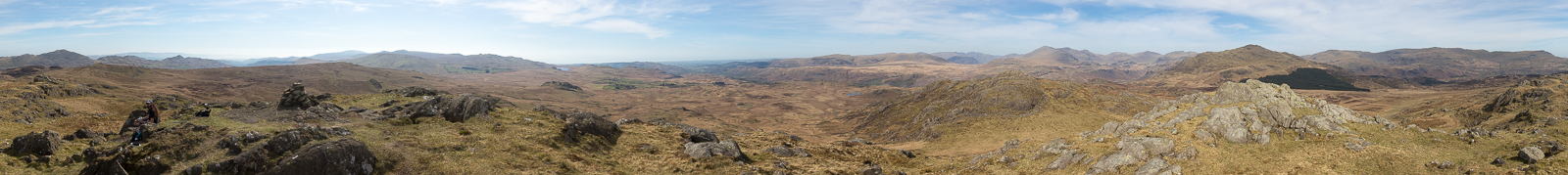
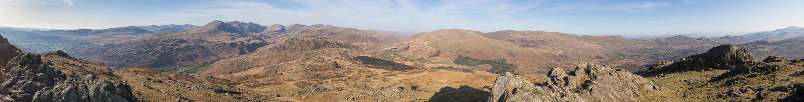
| 14.53 Panorama 1073 Green Crag summit. |
 |
||
|---|---|---|
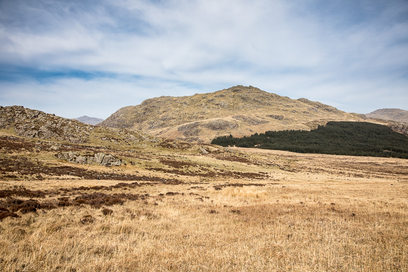
| 15.39 After a leisurely lunch we started across towards Harter Fell, having been advised by a couple arriving at Green Crag that it was dry all the way across. |
 |
||
|---|---|---|
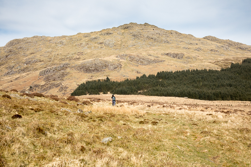
| 15.46 Heading for the left hand corner of the fir trees. |
 |
||
|---|---|---|
| 16.09 The map-reader is at work again so I take the chance to get ahead. |
 |
||
|---|---|---|
| 16.13 He soon caught up. |
 |
||
|---|---|---|
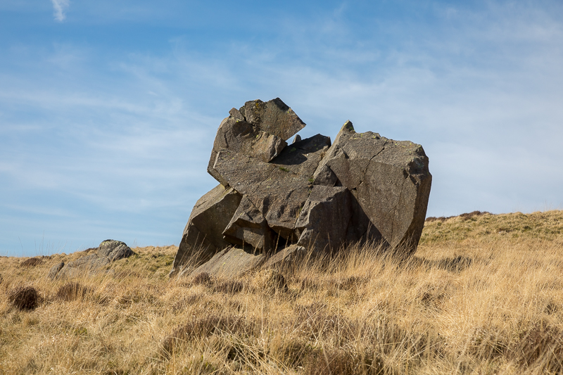
| 16.24 We passed this large rock which would be at home in Tate Modern. |
|
||
|---|---|---|
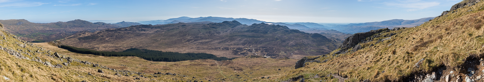
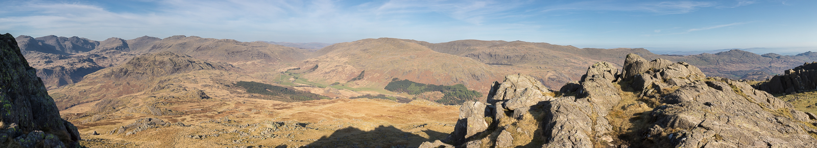
| 16.48 Panorama 1074 Ascending Harter Fell. |
|
||
|---|---|---|
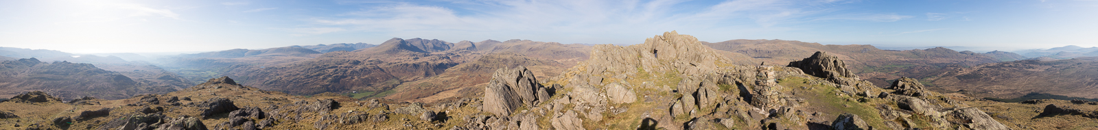
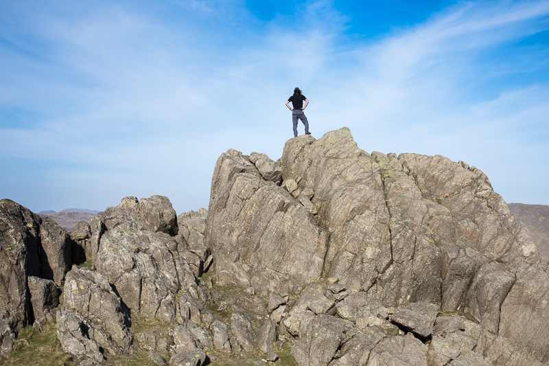
| 17.19 Panorama 1075 Harter Fell summit. The top is made up of three distinct rocky outcrops. The southern-most section has the Trig point but its not quite the highest. Nick is investigating how to get up the middle section. |
 |
||
|---|---|---|
| 17.22 The centre of the 3 rocky outcrops on Harter Fell summit. |
|
||
|---|---|---|
| 17.42 Harter Fell summit from just below the northern side outcrop. |
|
||
|---|---|---|
| 17.49 Panorama 1076 Harter Fell summit northern side. |
 |
||
|---|---|---|
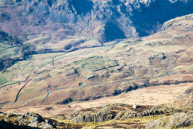
| 17.43 Looking down on Hardknott Fort from Harter Fell summit. |
 |
||
|---|---|---|
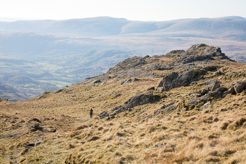
| 17.58 Starting the descent off Harter Fell. |
 |
||
|---|---|---|
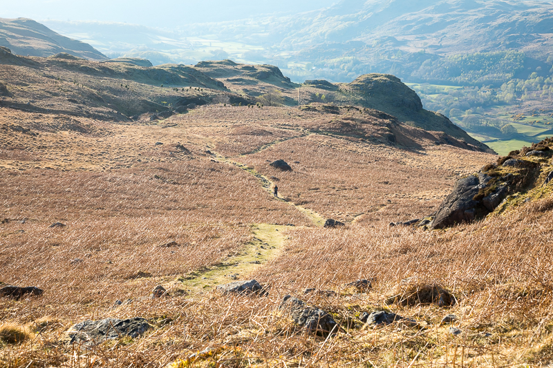
| 18.31 Painful feet at this point slowed me down. |
 |
||
|---|---|---|
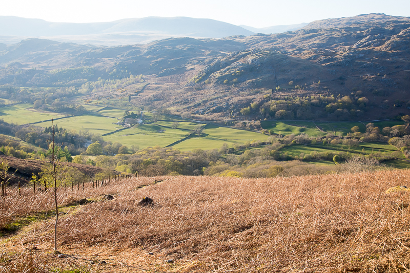
| 18.46 After a gate we followed the path down the left hand side of the field. The more popular path to the right leads to Jubilee Bridge. |
 |
||
|---|---|---|
| 19.02 At the bottom of the path down the side of the field. |
 |
||
|---|---|---|
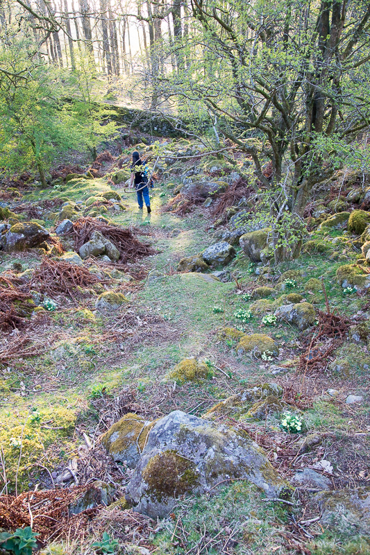
| 19.07 Slightly awkward to find the path at this point but nice primroses. |
 |
||
|---|---|---|
| 19.23 A quick stop to cool the feet was very welcome. |
 |
||
|---|---|---|
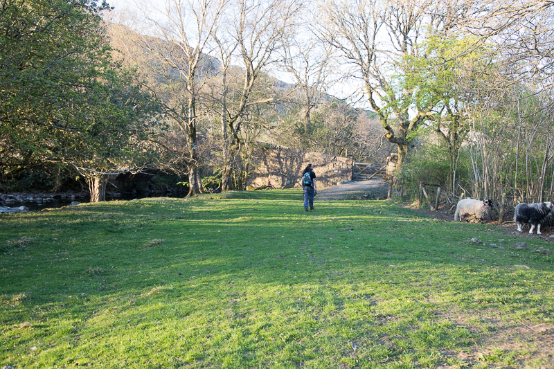
| 19.27 Approaching the road at Whahouse Bridge. |
 |
||
|---|---|---|
| 19.32 Looking back at the fellside from the road. To the right is a straight wall and next to is the field path we came down. The photo at 18:46 was taken at the top of that path. |
|
|
 |
|---|